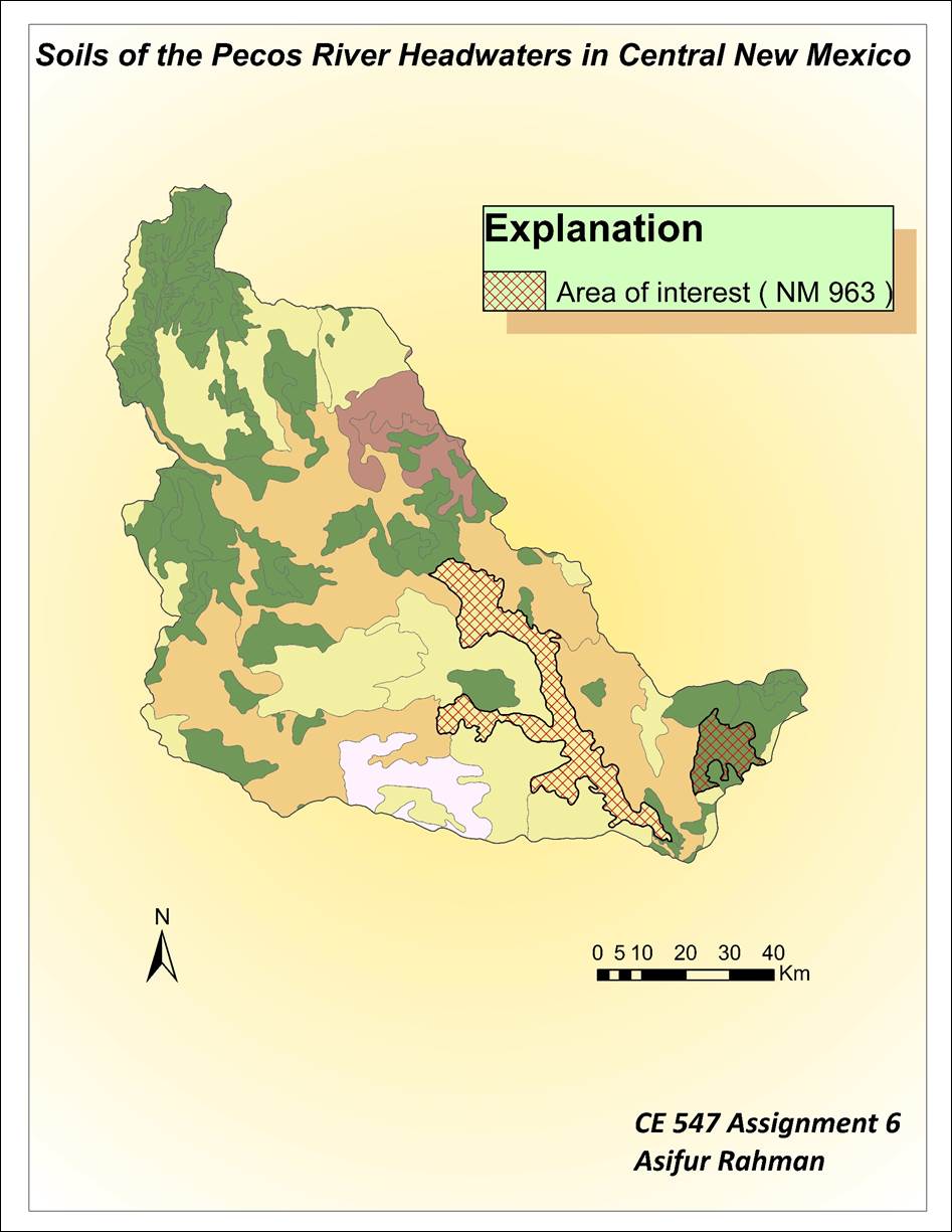
Assignment 6: STATSGO Soil Coverage
For this assignment, I downloaded
the soil data and change the alignment from -96 to -106 central meridian. After
playing for time with symbology features, I got the
Pecos headwater soils classified by Map area. After that, I used the ArcToolbox to clip the boundaries of STATSGO to that of the
watershed. Then I used the join table feature to join the comp table to that of
the Pecos_HUC Soils feature. Using the data from the
joined table, various information (soil components, soil surface type, slope,
surface texture, dominant soil group) of the soil type NM 963 can be answered.
Also, by performing the relate tables operation, I related three tables (mapunit, layer, comp) and integrated various soil
properties to calculate features like total soil depth and water holding
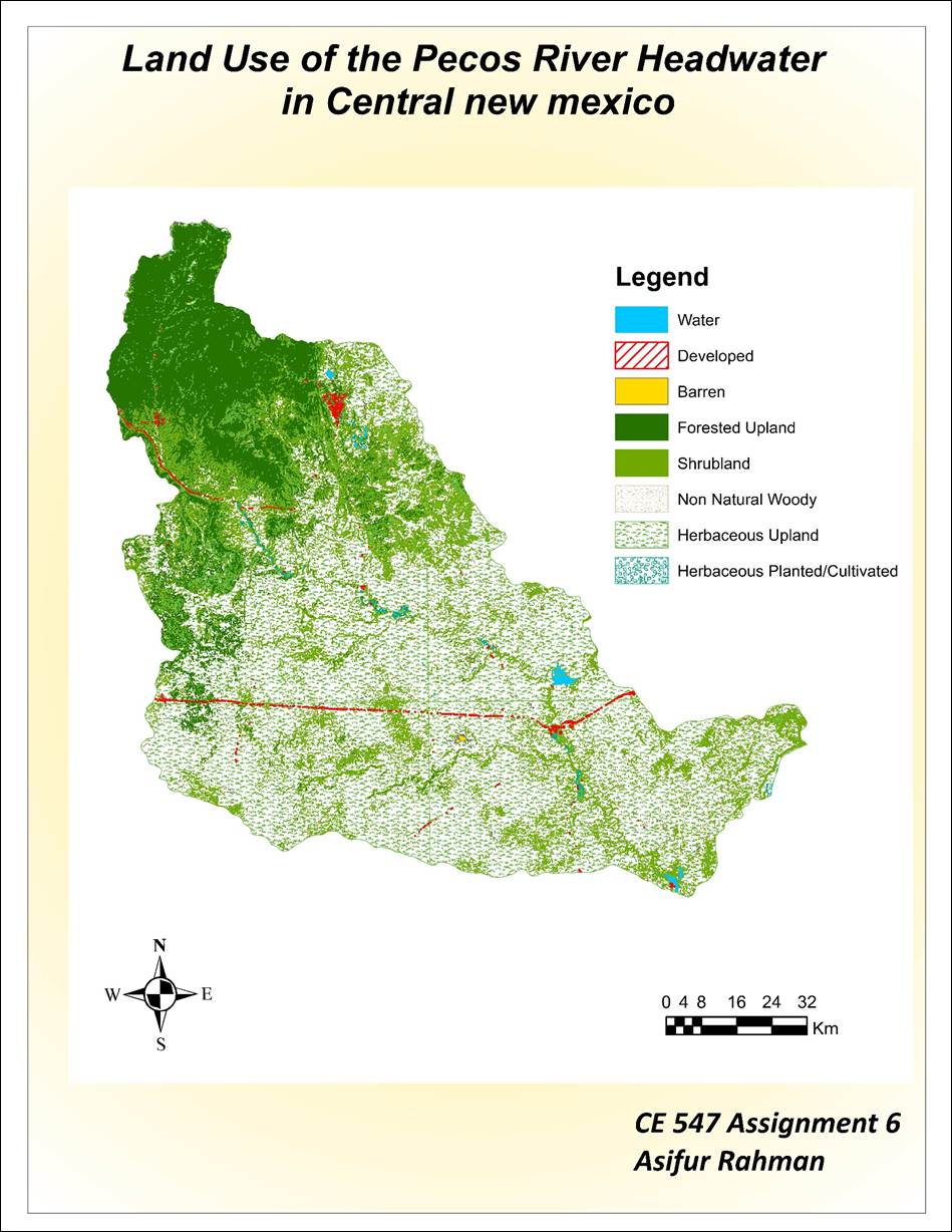
capacity for each components. For the land use data, using the Merge toolbox, I
added the four land use shapefiles and exported those in a new feature and then
clipped the land use to the PecosHUC. Using the symbology feature, I divided the land use map to different
components.
Finally, I created two layouts of Pecos Headwaters Soils and Land use to export to the website.