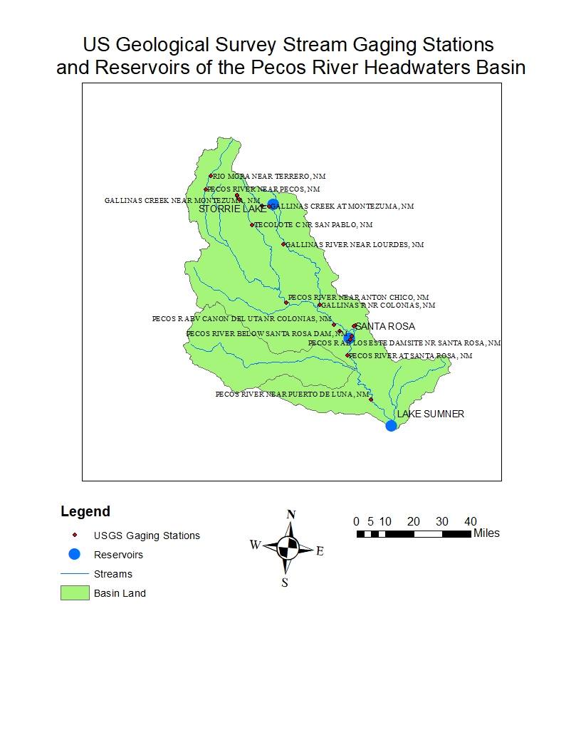

The maps below show the locations of
all stations at which the USGS has annual mean discharge data available for
some years from 1907 to 2019.
Not all gaging stations have data for
all years during this period.
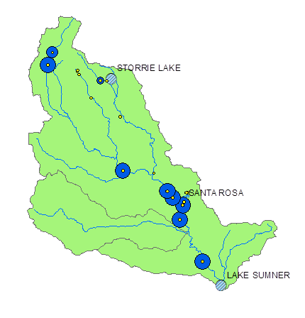
In 1907, there was data for only one
station: Gallinas Creek at Montezuma, NM.
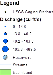
![]()
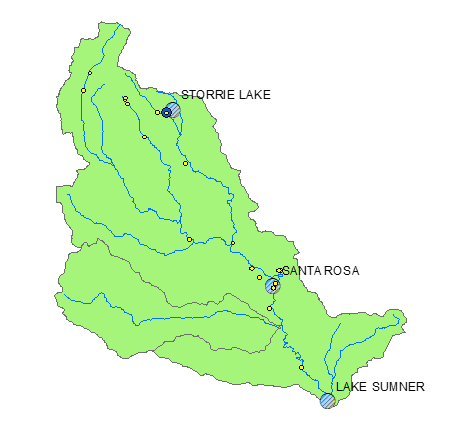
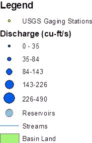
By 1942, there was data for several
stations:
![]()
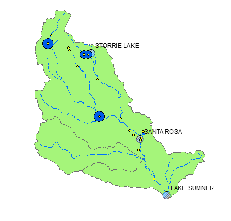
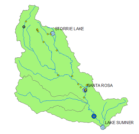
In 1983, there was data from stations
all throughout the basin:
![]()
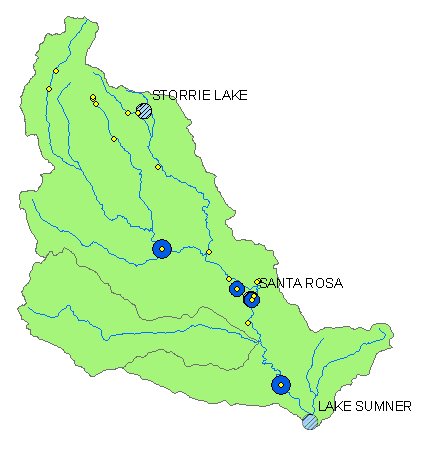
In the modern day, there can be wide
variations in mean discharge between years with low amounts of precipitation
and those with high amounts.
2011 (Dry Year)
2019 (High
snowfall in winter)

![]()