Homework 1
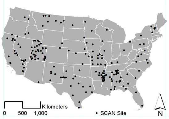
Three different methods for creating images of an
ArcGIS map were used in this
exercise: the print screen key (1), the export function in ArcMap (2), and the Windows
snipping tool (3). Example images are posted below. The map shows locations of
Soil Climate Analysis Network (SCAN)
stations cross the contiguous U.S.
1.
Screen Capture
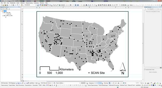
2.
Exported .jpeg
file from ArcGIS
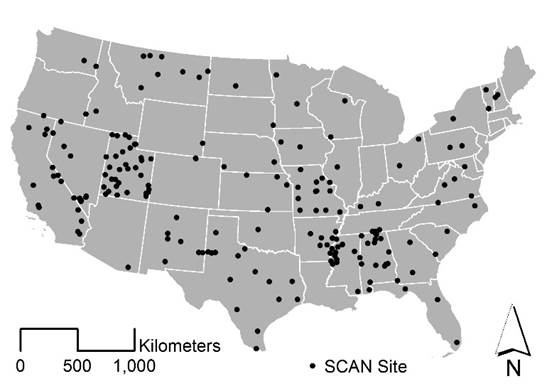
3.
Snipping tool