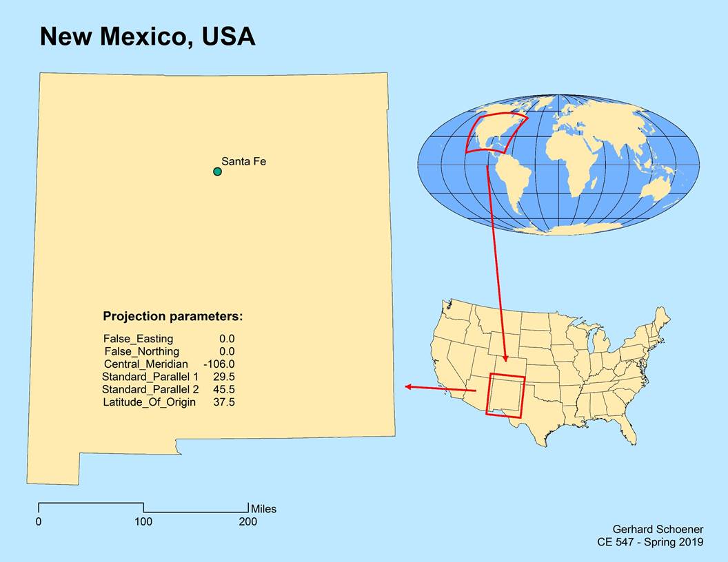
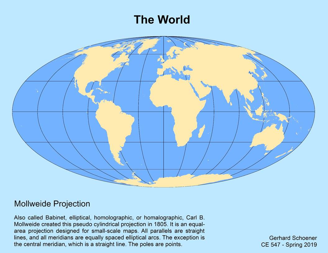
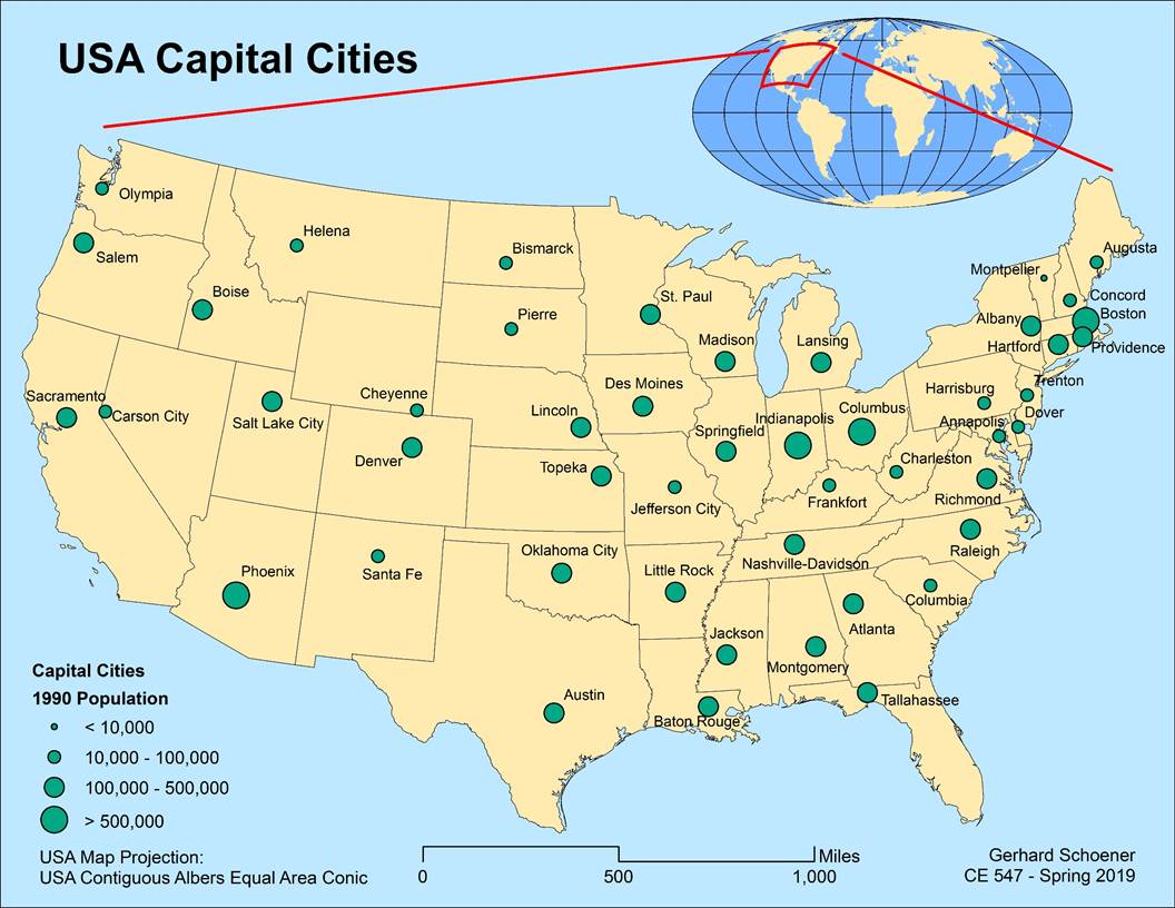
Homework 3
As part of this assignment, three maps were created
in ArcGIS:
The world map uses the Mollweide
projection.
The map of US States and capital cities uses the
Albers Equal Area projection with a central meridian of -96.
The map of New Mexico also uses the Albers Equal
Area projection, but has a central meridian of -106.