Assignment
3 – Jake Collison
Note: Whenever
I clicked on the layout function in ArcMap it would
freeze up. I ended up
having to reinstall
the program to get this function to work.
Due to the length of the install
process I only had
time to do this picture in layout format.
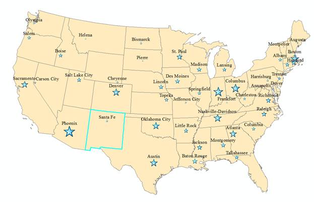
Map of the Lower 48 with Capital cities population annotated by
increasingly larger stars in Albers
Equal Area Conic Corrdinate System.

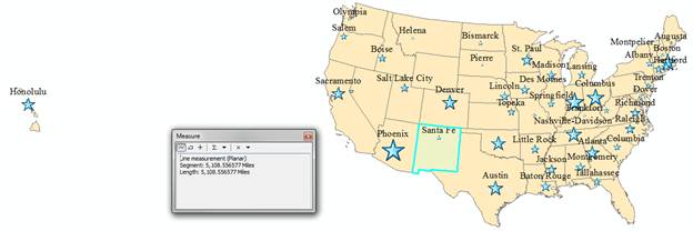
Map of the United States with the distance between the 2 farthest capitals
in Albers Equal Area
Conic Corrdinate System. The Capital with the highest population is
Phoenix with 983403 people,
from the 1990 cencus and the Capital with the highest population is Sante
Fe with an elevation of 6989 feet.
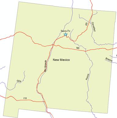
Map of New
Mexico with the major Rivers and Interstates labeled in Albers Equal Area Conic Corrdinate System.