`Assignment 6 – Marty Ennis 27 February 2006
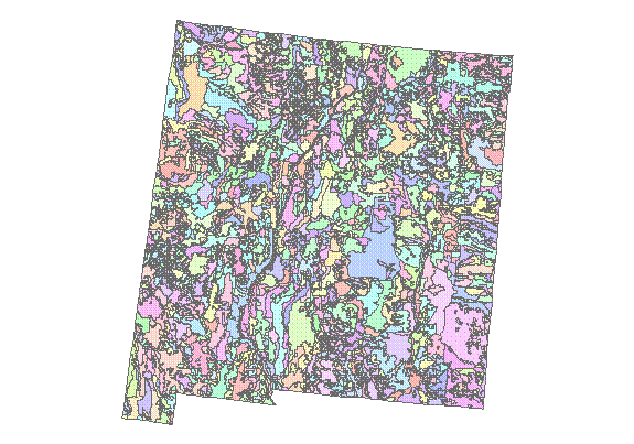
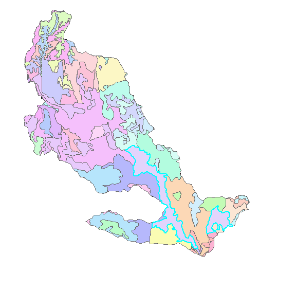
The NM polygon in all its colors.
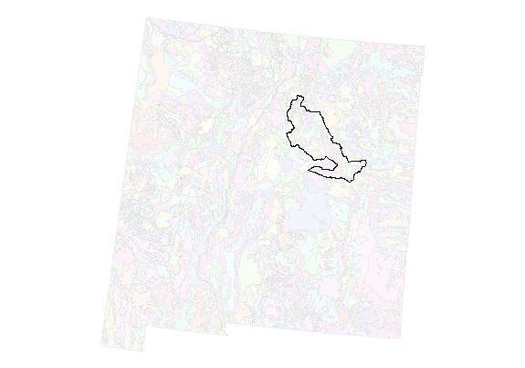
Pecos HUC w/ transparent NM.
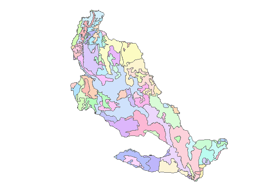
Pecos HUC clipped
NM963
This really puzzles me. I’m not sure whether you want NM963 in NM and TX or just NM. I think you’re getting both. There are 8 components.
Comp name % hi, lo slope sfctexture
| | | | |
The percentages of A, B, C, and D for this soil are 0, 2 (intermediate b/t sand and clay), 12 (intermediate b/t sand and clay), and 86 (clayey, poorly drained soils).
The average slope for each of the 8 entries is 9, 8, 49, 2, 25, 27, 55, and 20, which is all I can figure out for ‘predominant slope’.
However, there are only 2 outcrops of the soil in NM963.
Dominant soil texture is Regner (27 + 7 = 34), which is CL = clay loam. The other major soil texture is FSL = fine sand and loam (Latom at 27%).
I had to look elsewhere for the streams data, but it looks as if the 2 pieces of the map below that are NM963 are drainages. But I don’t know whether it makes sense b/c I don’t have elevation data to see how far down the streams cut. My impression is that streams usually have sandy beds, but I suppose a clayey bed would not be impossible.
Vertically integrating soil properties over the layers
This took some time to figure how to get the dbf files from arcmap to excel. And I found that I can only save the active sheet of the file, so I shouldn’t have tried to put all three pieces – layer, component, and mapunit – in one file w/ 3 tabs.
NM963 has 8 sequences (SEQNUM), of LAYER numbers:
1 > 3
2 > 2
3 > 1
4 > 3
5 > 3
6 > 2
7 > 3
8 > 4
See the separate part of the assignment for the spreadsheet of calculations and information. (I don’t know how to embed the landscape spreadsheet nicely into my single web page assignment.)
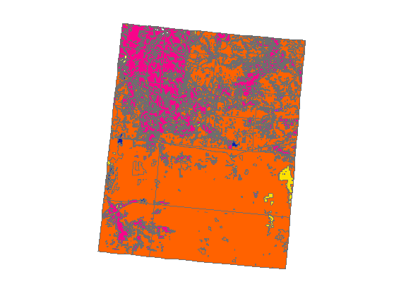
Land use
In the following map, the bottom rectangle is
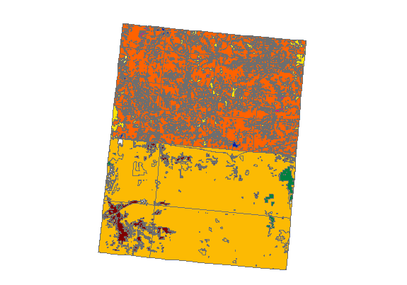
The map below shows both quads w/ the same color scheme. Fuchsia is forest, ochre is rangeland, the small amount of yellow on the right side of the map is agriculture.
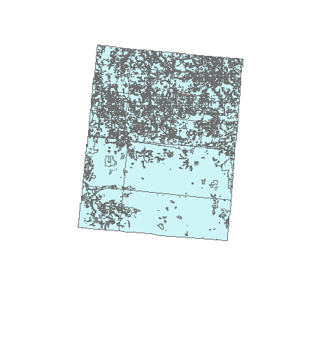
The layer below is the merged land use layers. This took a considerable time to figure out how to do.
xx