Final
Project
An Exploration
of the Use of GIS Analyses to Test the Results of a System Dynamics Model
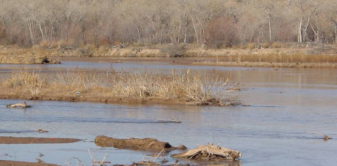
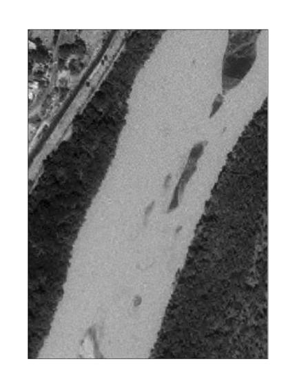
Image of a representative section of the
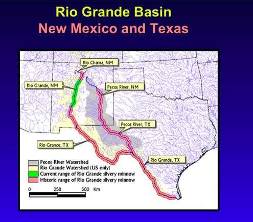 Image from
Introduction
The 1994 federal Endangered Species Act (ESA) listing of
the silvery minnow in
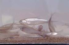
Silvery minnow, an
endangered species native to the
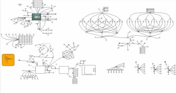
The Model
In an effort to understand the silvery minnow, Sandia
National Laboratories (SNL) is developing a model of the fish in its native
habitat. The model, built using the
Powersim system dynamics modeling platform, is shown below.
The main purpose of the minnow model
is to determine the vulnerability of the silvery minnow to a variety of
threats, specifically high and low discharge conditions and water pollution, proxied by agricultural and wastewater treatment plant
ammonia concentrations.
The model runs for 31 years (1975-2005)
on a monthly time step. Fish live for 2-4 years. Cohorts are eggs and larvae,
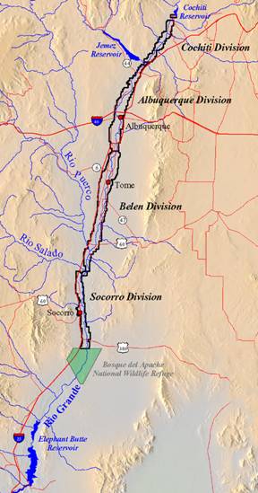
juveniles, and adults, with spawning beginning at 5 months. Six reaches are
modeled: Cochiti – San Felipe –
Fish populations change according to
births, deaths, and on/off switchable captive release
program and migration scenarios. There are several types of mortality –
background, density dependent, discharge, and pollution. Results consist of
time series by reach of output variables.
Data can be input in a number of ways. Some data is input
from Excel spreadsheets as time series or as single values. Other inputs can be
selected as graphs, e. g., logistic, exponential, and linear. And still other
data is selectable using a slider to choose a value from a range of values.
This multitude of input data combinations makes it difficult or impossible to
test the model and find sets of optimal values.
The primary difficulty has been in data collection. Some
of the variables had time series data for the last 31 years, but for other
variables it was spotty. And for several variables, there simply was no
information and so they had to be estimated. This reduces confidence in any
results, and requires extensive sensitivity testing. However, the complexities,
non-linearities, and positive and negative feedbacks
in the model make any single combination of input variables of marginal value
and possibly non-replicable in the outside world. Thus, independent
verification of values or at least trends would be invaluable.
GIS Analyses
ArcGIS, a product of ESRI, is a sophisticated
menu-driven tool for investigating data with a spatial or pseudo-spatial
component. The images used in this analysis, downloaded from RGIS, were 7.5
minute MrSID orthophoto
quarter quads, 1-m resolution, for southwest


Because the adult silvery minnow likes deep pools and
slow-moving water, two ratios were selected as possible indicators of
hospitable conditions for each of the two reaches: total area of sandbars
divided by the total chosen area of river and length of thalwag
(deepest part of the river) divided by the length of the bank. A representative
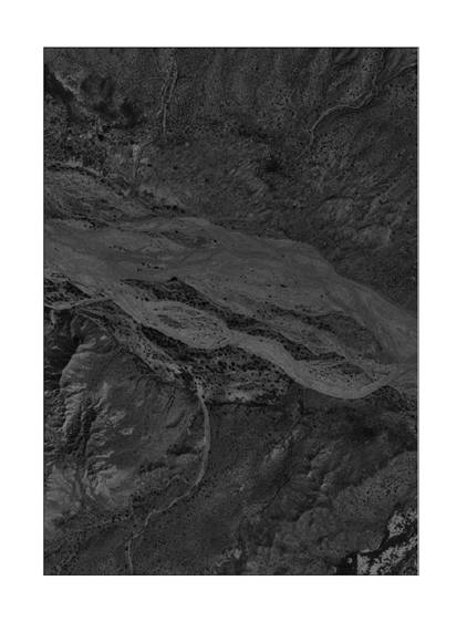
section of each quarter quad was chosen for the analysis. However, the
resolution of the image was not good enough to ensure determining all - and
only – the sandbars. Further, the deepest part of the river was not
discernable. In the San Acacia representative section, it was difficult to
determine what was water and what was sand, which also
made it impossible to delineate the river bank. See the images below for
representative sections, with
Conclusions
After the ArcGIS analyses, it
became apparent that the technique would not be suitable to test the minnow
model even if the images had been able to yield a result. This system dynamics
model is temporally discrete and spatially aggregated and yields time series
output, the exact opposite of GIS data, which is spatially discrete but a
snapshot in time. Perhaps if the model reaches were smaller and more
homogeneous, and with a yearly time step, a GIS image of better resolution (Lidar?) would be able to discern the relevant features so
that ratios could be determined and an indication of reach favorability, and
perhaps a comparison between the two reaches’ favorabilities,
could be made. However, this model is not that model, so the technique is
inappropriate for testing silvery minnow model results.