Other Data Available for Analysis
Other socioeconomic data was
available for analysis as well. This
data did not improve the statistical fit of the regression models used, so was
not included in the final analysis. However,
it may still be useful in the future, in more refined analyses.
Road Data
A shapefile showing major
roads in
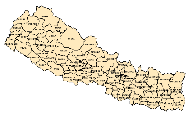
Population Data
Also available (from 1991 and
2001 censuses) are population levels for each district. The average of 1991 and 2001 population
levels was the level mapped here.


Other data available include:
the number of social networks (e.g., farming communities or women’s groups) in each
district, and the number of deaths in each district due to