Pavel Vakhlamov HW4
1) Download data from /nfs/user/c/cegis/ce547/assign4 on ftp server.
2) Import data E00 files
a. Use Conversion Tool > To Coverage > Import from E00
b. Save converted files
c. Add data to a new map

3) Activate Tool Extensions
Customize > Extensions > Spatial Analyst
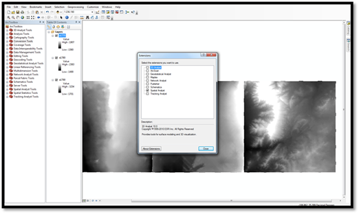
4) Using Mosaic tool (Data Management Tools > Raster > Raster Dataset > Mosaic ) create a continuous surface.
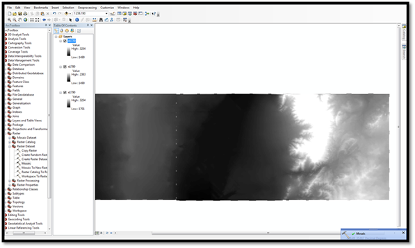
5) Set a different color ramp by going to Properties > Symbology > Stretched

6) Use Fill tool in Spatial Analyst > Hydrology to remove pits in the raster or by using a command line (Con(IsNull("calculation"), FocalStatistics("calculation", NbrRectangle(4,4, "CELL"), "MEAN"), "calculation")) in Spatial Analyst > Raster Calculator
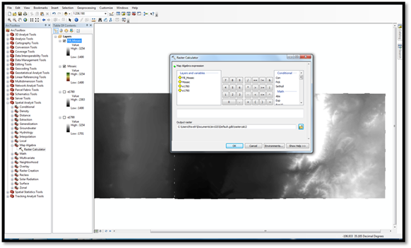

As the result we have created continuous DEM
Part 2
1) Using Flow Direction tool or a command line (FlowDirection("Filled_DEM")) calculate flow direction.
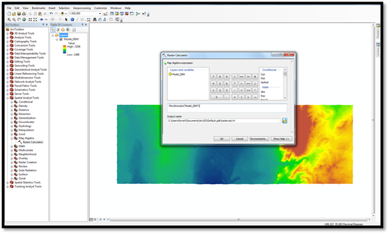
Result of Flow Direction calculation

2) Using Spatial Analyst > Hydrology > Flow Accumulation Tool or command line (FlowAccumulation("Flow_Dir"))) calculate flow direction.
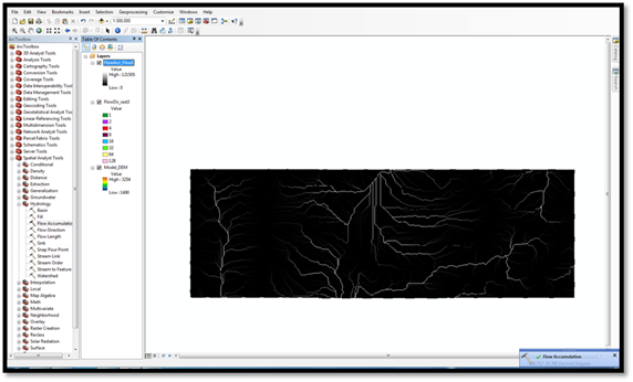
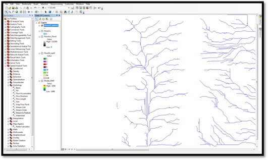
3) Using Stream to Feature tool in special analyst > hydrology or command line (Con("Flow_Accu">278,1)) in raster calculator we are able to create stream polylines

4) Using Spatial Analyst > Hydrology > Stream Link or raster calculator (StreamLink("Streams","Flow_Dir") we are able to connect generated polylines in to a stream network.
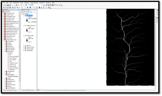
5) Determination of outlets is performed by using ZonalStatistics("Streams_Network", "Value", "Flow_Accu", "Maximum") in Spatial Analyst > Raster Calculator
6) Watershed delineation is performed either by Spatial Analyst > Hydrology > Watershed tool or Raster Calculator (Watershed("Flow_Dir", "Outlets")

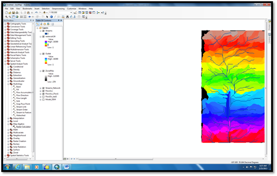
Format layout
Export Map