Homework #1
Exercise 3a:
in this exercise, At first step I downloaded the data of “Getting to know ArcGIS” through this link. The I installed the date. I opened the downloaded map in ArcGIS.
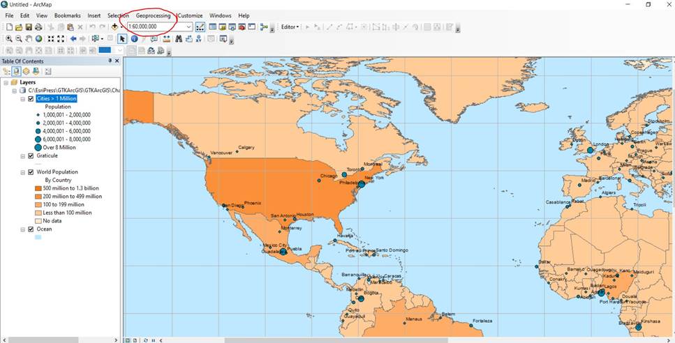
I changed the layers name (by 2 separate click) and location in table of content. I turned off and on the layer by check boxes. Use the identify bottom to know the name of most populated countries “China and India”. By right click on layers name and go through the properties we can see symbols, sources, type of feature classes (Polygons or point etc.).
Exercise 3b:
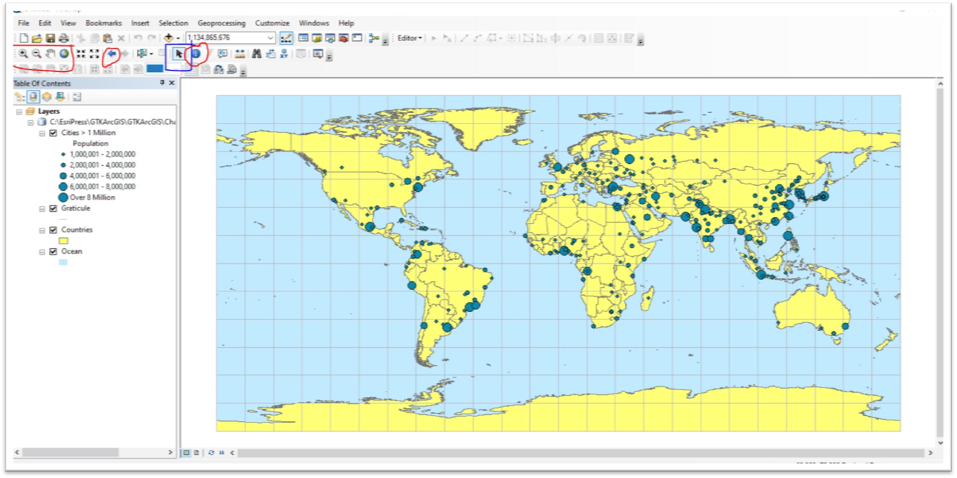
In this exercise, we learn how to work with zoom in and out bottom and pan for moving through a map. How to show the full-size map by a bottom in shape of earth. How to use identify bottom to extract ISO No of countries.
Exercise 3c:
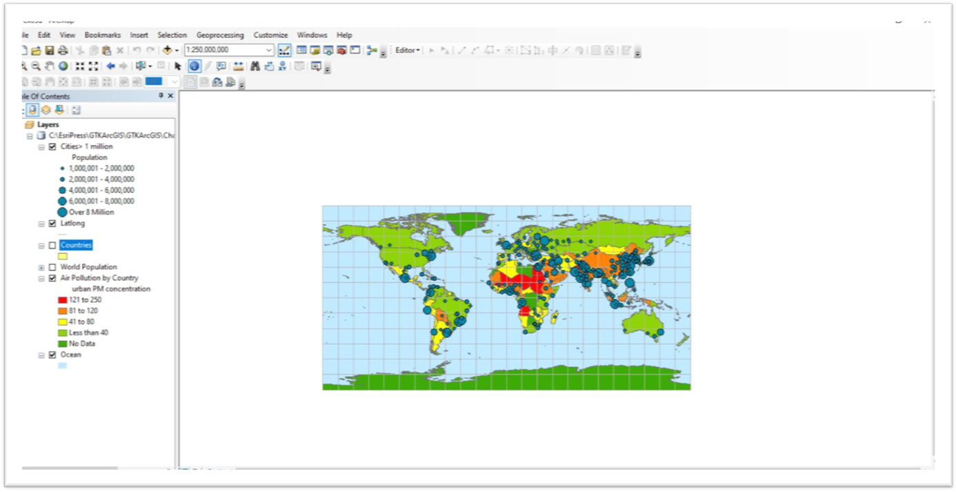
By the properties of layer and display menu we can pick what we want to see when we pause mouse on map (check the show map tips box).
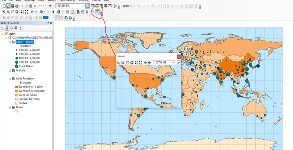
How to put limited show for labs. Through properties, label bar, check first box, change scale to limitation. That mean when you zoom in more than limitation the labels appear. Crating viewer and use navigation on that (by magnifier mode).
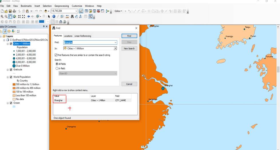
Also, we learn how to use find bottom.
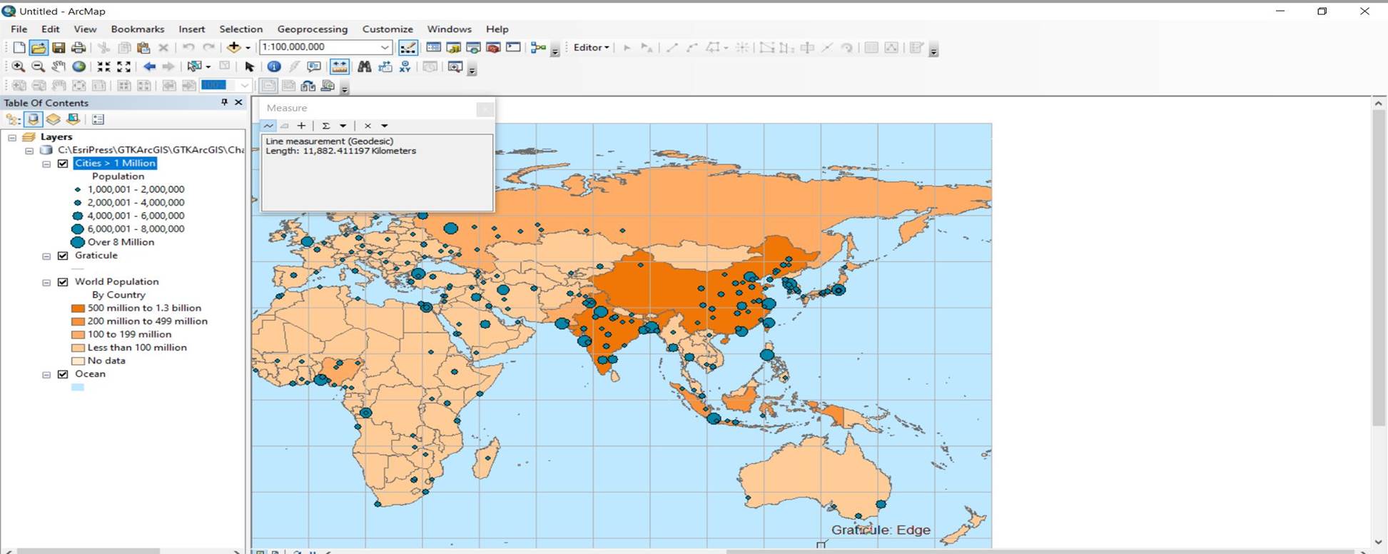
Measure distance by measure bottom, shanghai to New York:
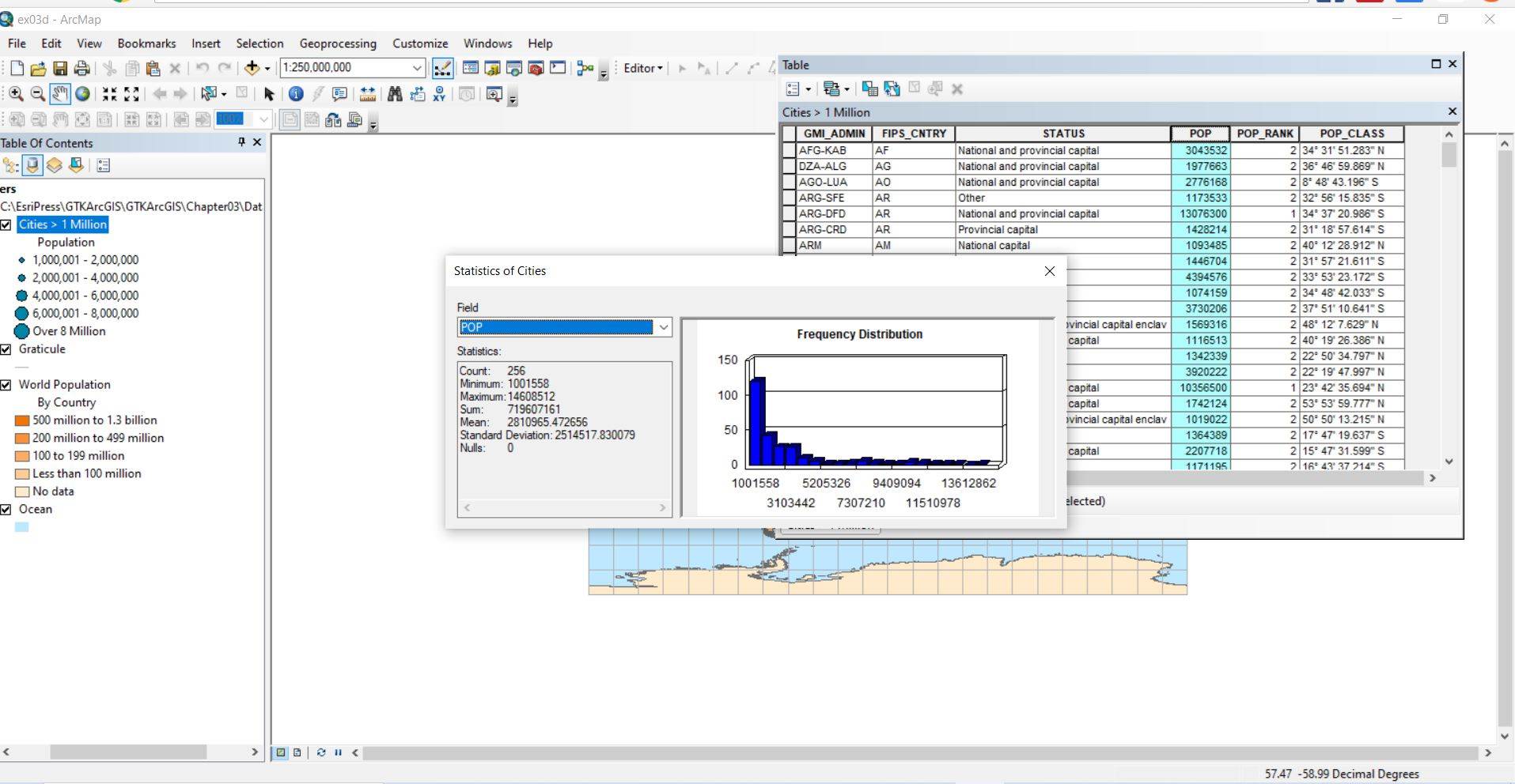
Exercise 3d:
In this exercise we learn how to find attributed table which provide information of the map, we can edit this table, move rows and columns, remove them, find static, calculate them , use the python to write down formula, add row and column, sorting them.