Assignment #6
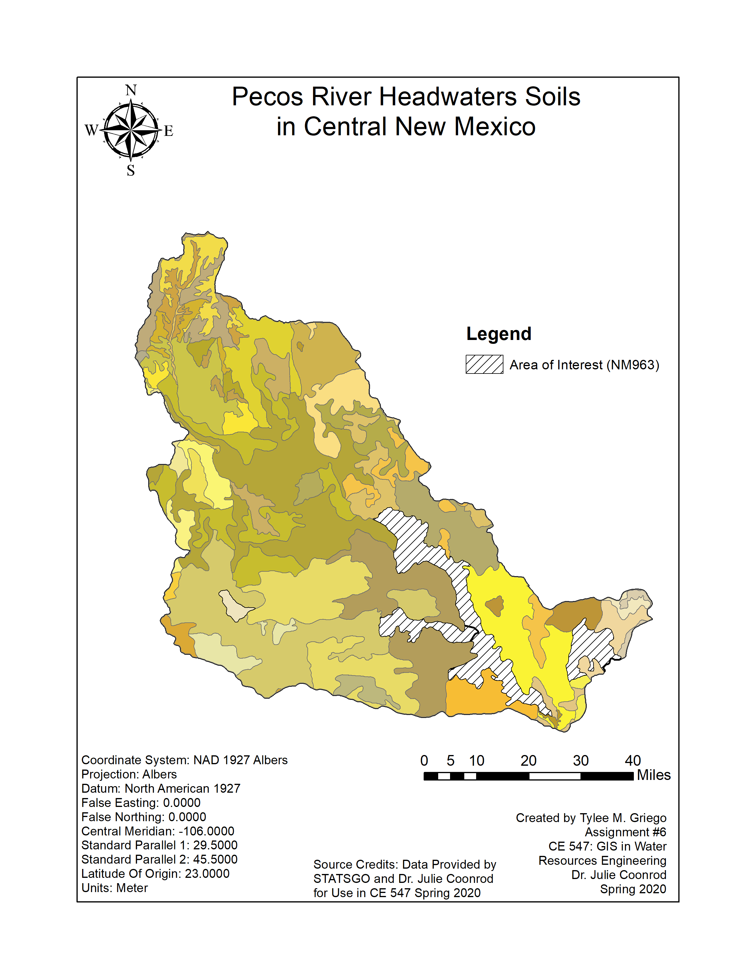
Pecos Headwaters Soils in Central New Mexico
a. Download data
b. Load soil data
c. Change map alignment
d. Update symbology
e. Add Pecos HUC
f. Extract soils for Pecos Headwaters
g. Add tables to map
h. Joining tables
i. Calculating soil properties
a. Spatial averaging soil properties
b. Export map
c. Relate ‘comp’ and ‘layer’ tables
d. Vertically integrate soil properties
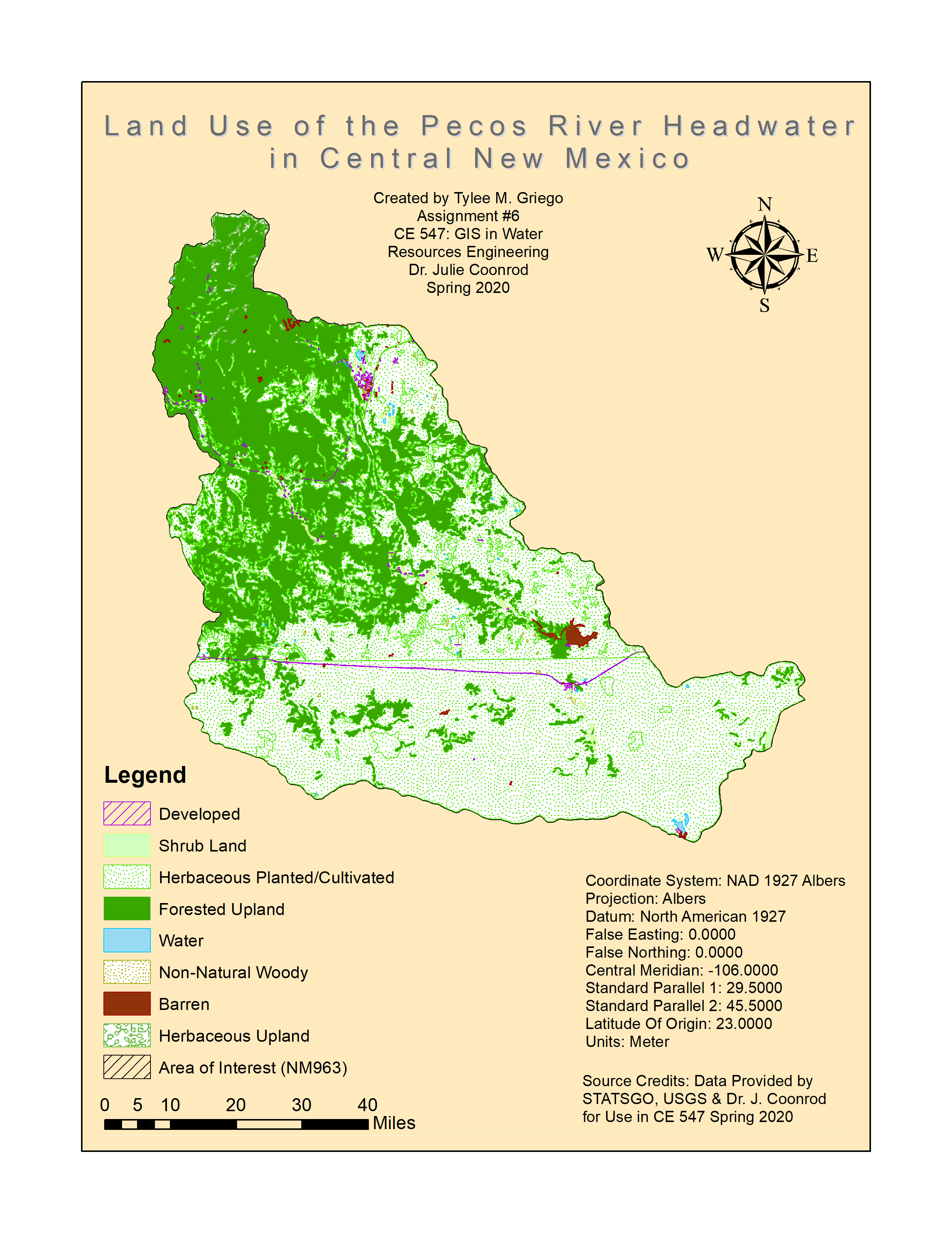
Land Use of the Pecos River Headwaters in Central New
Mexico
e. Download land use
f. Merge and clip land use
g. Change symbology
h. Change classification
i. Adjust labels and colors
j. Import symbology
k. Export map