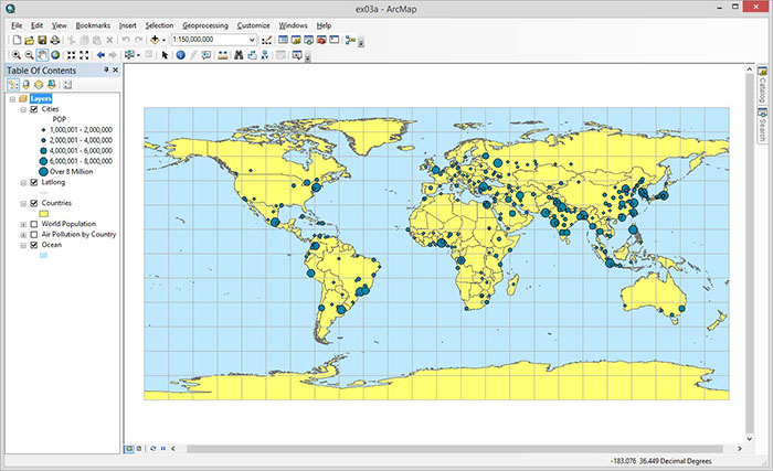
Excercise 3A
Step 3: Importing data into ArcGis
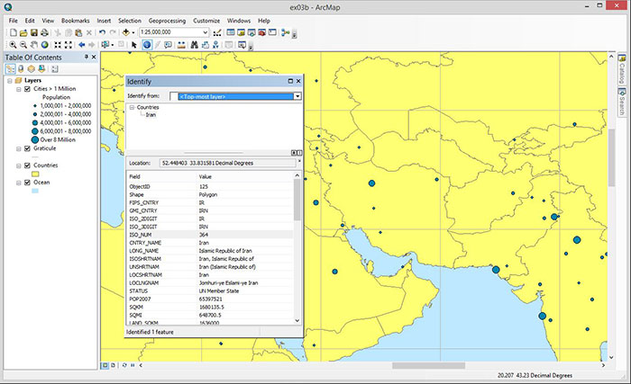
Exersize 3B
Step 9: Using the identify tool to view the Geodatabase’s attributes of Iran
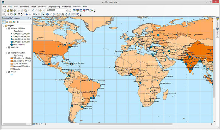
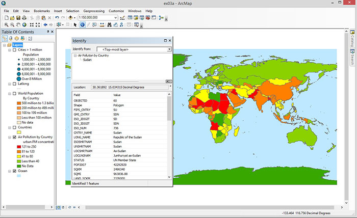
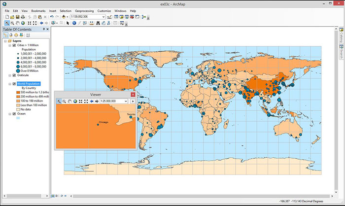
Exersize 3C
Step 7: Using the zoom tool
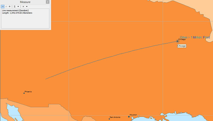
Step 22: Using the measure tool to estimate distance between Albuquerque and Chicago
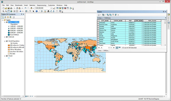
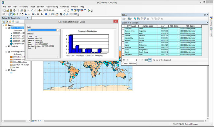
Exercise 3D
Step 15: Selecting the 12 cities with population ≥ 10 million