Assignment
4
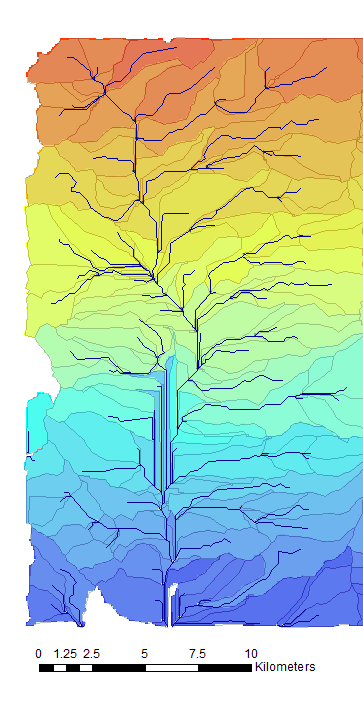
Delineation
of the Rio Puerco Watershed
To accomplish this assignment I had to create
several sets of roster data. Following
the steps given I took the interchange files and created a mosaic raster file.
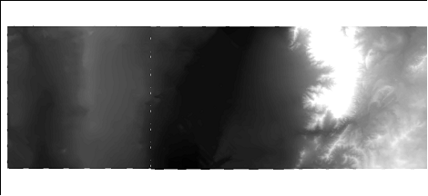
Using the raster Calculator I was able to find
the flow direction for the streams.
Again with the calculator I was able to take this farther and find the
flow accumulation.
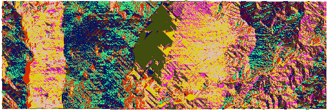
With this new layer I used the stream to feature
and streamlink tools under the hydrology category in
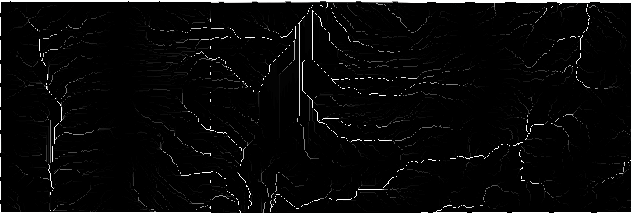
the toolbox. To define the outlets I
found the zonal max’s using the accumulation and stream network layers. The finishing steps where to divide up the
watersheds using the flow direction and outlets layers in the raster
calculator. According to the directions
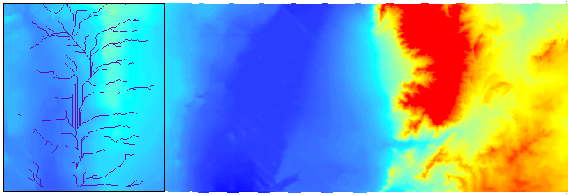
the final area should be divided up into 53 watersheds. I was unable to figure out how to come up
with this number. The map below is
divided into 786 separate watersheds.
Delineation of the Rio Puerco watersheds Rio Puerco Rio Grande Sandia Mountains
![]()
.