Assignment 5
For this
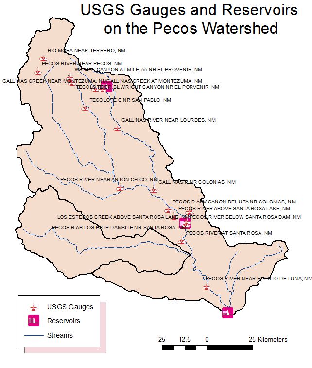
assignment I first took the downloaded data from the USGS maps site already
given and narrowed it down. First it was narrowed down to area 13 using the
query builder. By using the selection by attributes I selected the sub reaches
of 13060001 and 13060002. Selection by location allowed me to select only the
reservoirs and streams within the two sub basins. The selected areas were all
exported as their own layer.
Adding the stream gage data
from the USGS site was done by downloading the data and placing it in an excel
file. Once the information in excel was formatted to text/numbers I was able to
bring it into arcmap. The biggest frustration in
adding the data to Arcmap was realizing how to get
the coordinate systems to match.