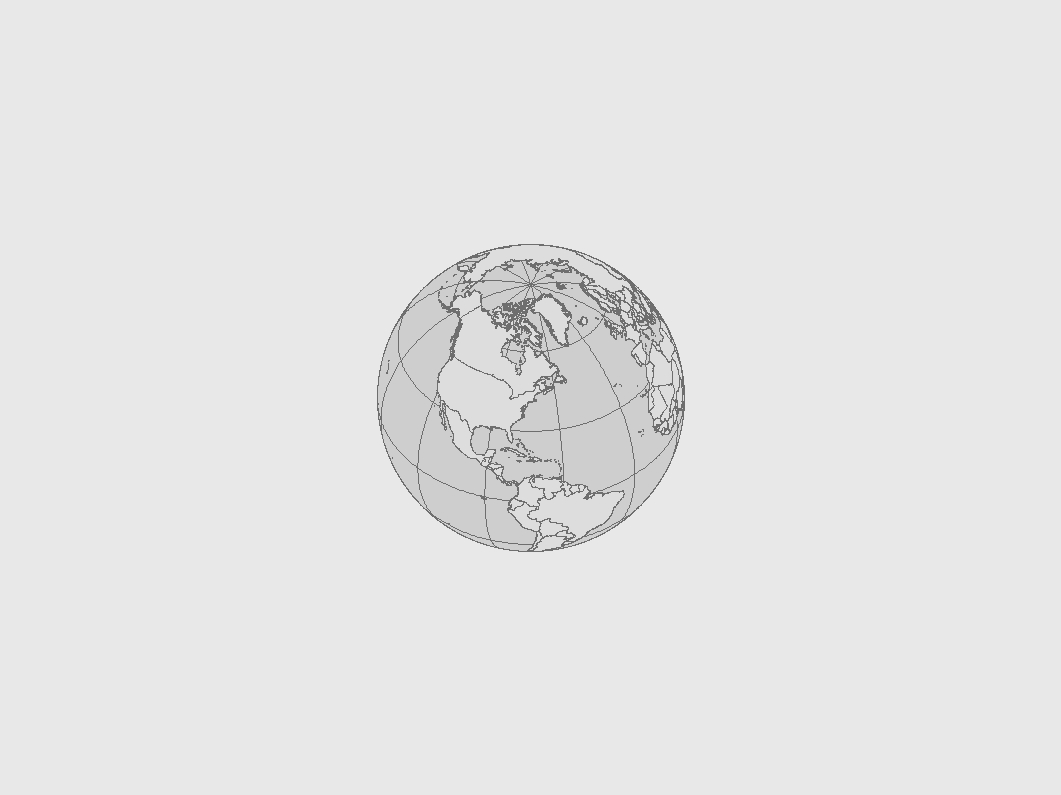
In the first view, the longitude of center is -72.6 and the latitude
of center is 42.5, centering us on North America as seen from "above".
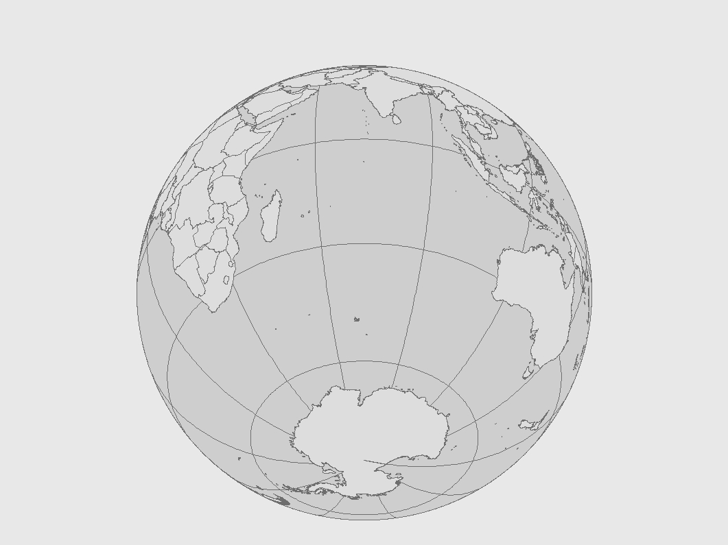
In the second view, the longitude of center is 72.6 and the latitude
of center is -42.5, centering us on the Indian Ocean as seen from "below".
The unprojected distance from from Augusta to Olympia is 2530 miles. This distance equals approximately 4150 kilometers. The projected distance is approximately 4100 kilometers, and is 2550 miles. The projection here is Albers, an equal area projection. Thus, both distance and shape are not truly shown. The parameters of the projection are as such:
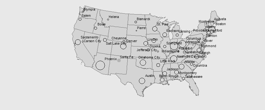
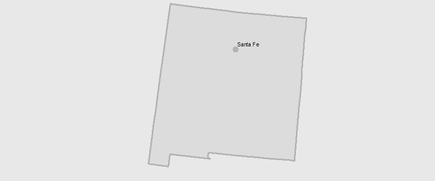
The least populous capital is Montpelier, Vt; the most populous is Pheonix, AZ. Santa Fe, NM has the capital with the highest elevation.