![]()
MAPPING METAVERSE
Emerging
technologies has had an impact on how GIS mapping courses are taught. The
metaverse or digital universe provides innovative possibilities for building
learning communities, enhancing social presence, and creating virtual training
environments. One such world, called Second Life is already providing
opportunities for student discussions, project collaboration, and even
presentations inside the metaverse.
Second Life is a
metaverse that has long been involved in applying its digital environments to
education. Both free and paid accounts are available. To join you go to the
website (www.secondlife.com), start up an account, choose a name for your
avatar (your digital alter-ego), download the client software and enter the
brave new digital world. You will be asked to decide what your avatar will look
like – you can be male, female, or even a furry. Finally you will be taken to
Orientation Island to learn how to get around and communicate in this
metaverse.
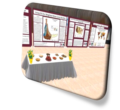
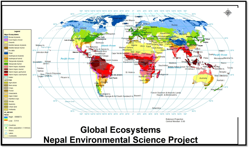
This mapping
metaverse will enable students to create maps for global ecosystems, have these
converted to jpeg files so they could be uploaded to a functional display board
inside second life. Then they will get together to study every week for an hour
to an hour and a half. The students are forced to respond to their instructors’
questions by typing which will not only aid in learning the material, but also
practicing the responses they would eventually use in their essay exams, which can
potentially improve test scores.
Students will be
using Second Life to collaborate on the project-based learning laboratories, to
visit their instructor during virtual office hours, and optionally to build 3-D
models and animations that demonstrate their understanding of mapping
concepts. The instructor and the
students all belong to a group that provides group chat environments, member
lists and profiles.
![]()