|
|
|
|
|
|
|
|
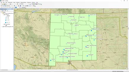
Layer
Properties Add
symbol of water for annual pan evaporation. Symbol size is changed, ranges
from 12 to 24. Classify based on quantile of data, with class of 4. Label
layer based on station name. Size of label is changed to 9. Character width
is changed from 100 to 120. Halo is added to the label with a size of 2. |
|
|
|
|
|
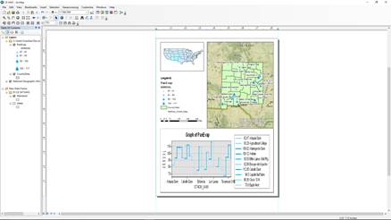
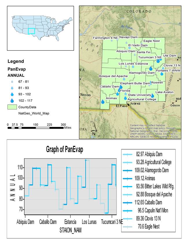
Map
Layout US map
is downloaded. Mainland is selected and a separated layer is created.
Identify the state of New Mexico. Change to Layout View. Align the two figures.
Create graph.
Vertical line is selected. Choose annual as value field. Station Name is
chosen as x-label field. Then
graph is created and added to the lay out. Insert
legend, north arrow, and scale bar. |
|
|
|
|
|
|
|
|
|
|
|
|
|
|
|